With the National Hurricane Center having issued a Tropical Storm Watch for parts of Southern California in connection with Hurricane Hilary, there is a possibility of tropical storm conditions occurring within the watch area over the next 48 hours.
Tropical Storm Hilary is expected to bring strong winds and heavy rainfall to the Southwestern United States until next Wednesday, with the peak impact likely on Sunday and Monday. Rainfall amounts are projected to range from 3 to 6 inches, and isolated areas might experience up to 10 inches of rain, primarily affecting portions of southern California. Consequently, there is a risk of flash floods, urban flooding, and arroyo flooding due to the excessive rainfall.
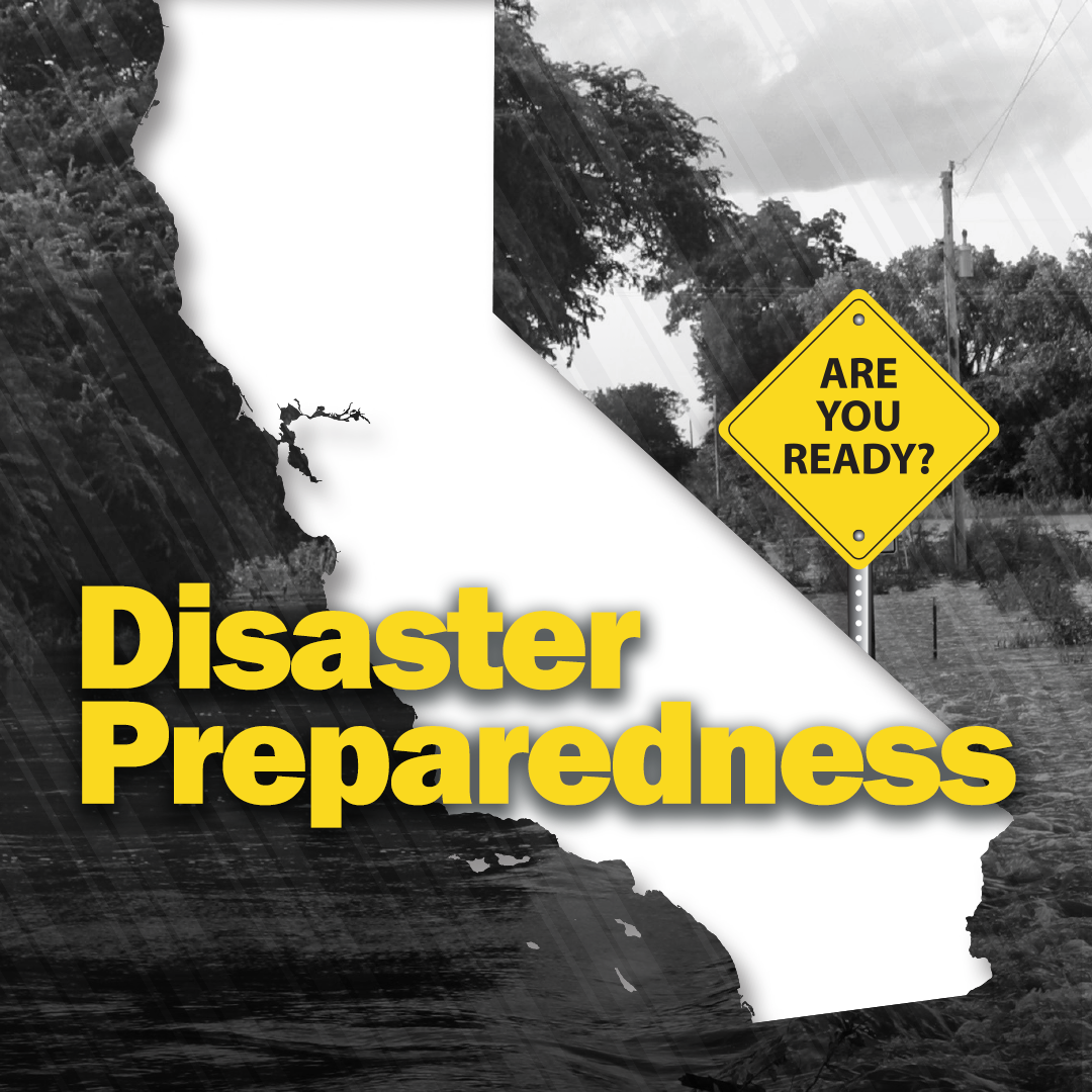
In light of the situation, we strongly advise the following precautions for your safety:
- Stay updated with local guidance and weather forecasts to stay informed about the situation.
- Sign up to receive local emergency alerts via your preferred communication channels.
- Make a family emergency plan that includes communication and evacuation strategies.
- Check on loved ones and neighbors, especially those who might need assistance during adverse weather conditions.
Use these resources to make sure you are prepared!
Federal:
Ready.Gov Hurricane Information
State:
County:
Orange County
Ready Orange County Emergency Preparedness
Orange County Fire Stations with Sandbags
Los Angeles County
Ready LA County Emergency Preparedness
LA County Fire Stations with Sandbags
Other:
Safety Tips for High Wind Conditions | Energized by Edison